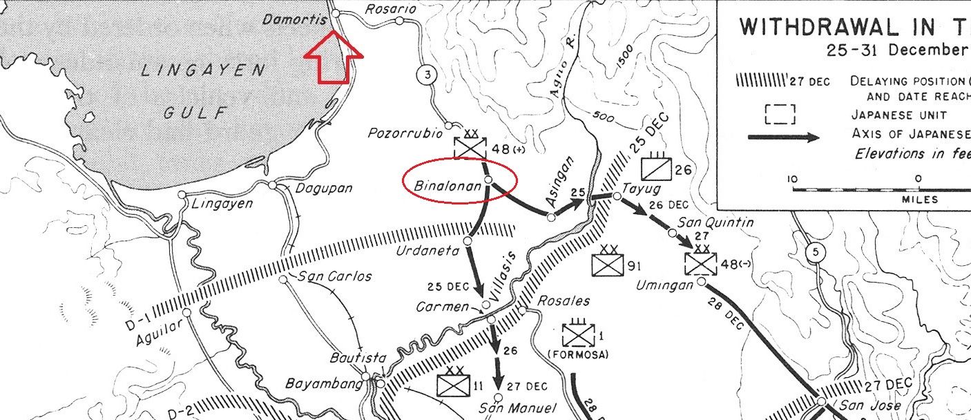
As part of the Damortis trip, I'm also looking to check out Binalonan since it's on the way to Damortis.
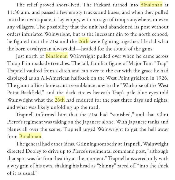
On Christmas eve 1941, the 26th Cavalry found themselves alone holding the town. The 71st Phil. Army division was supposed to be holding it and the 26th was in reserve. For some reason the 71st pulled out of town without notifying the 26th. The 26th cavalry held the town and fought off the Japanese all day almost surrounded. While doing so, Gen. Wainwright paid them a surprise visit and "hung out" with the cavalrymen during the defense.
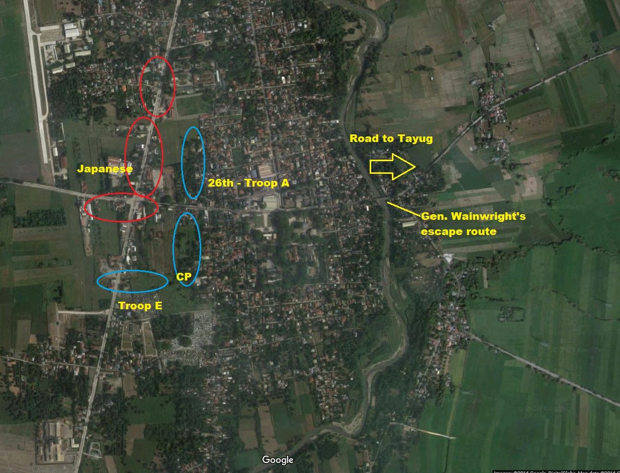
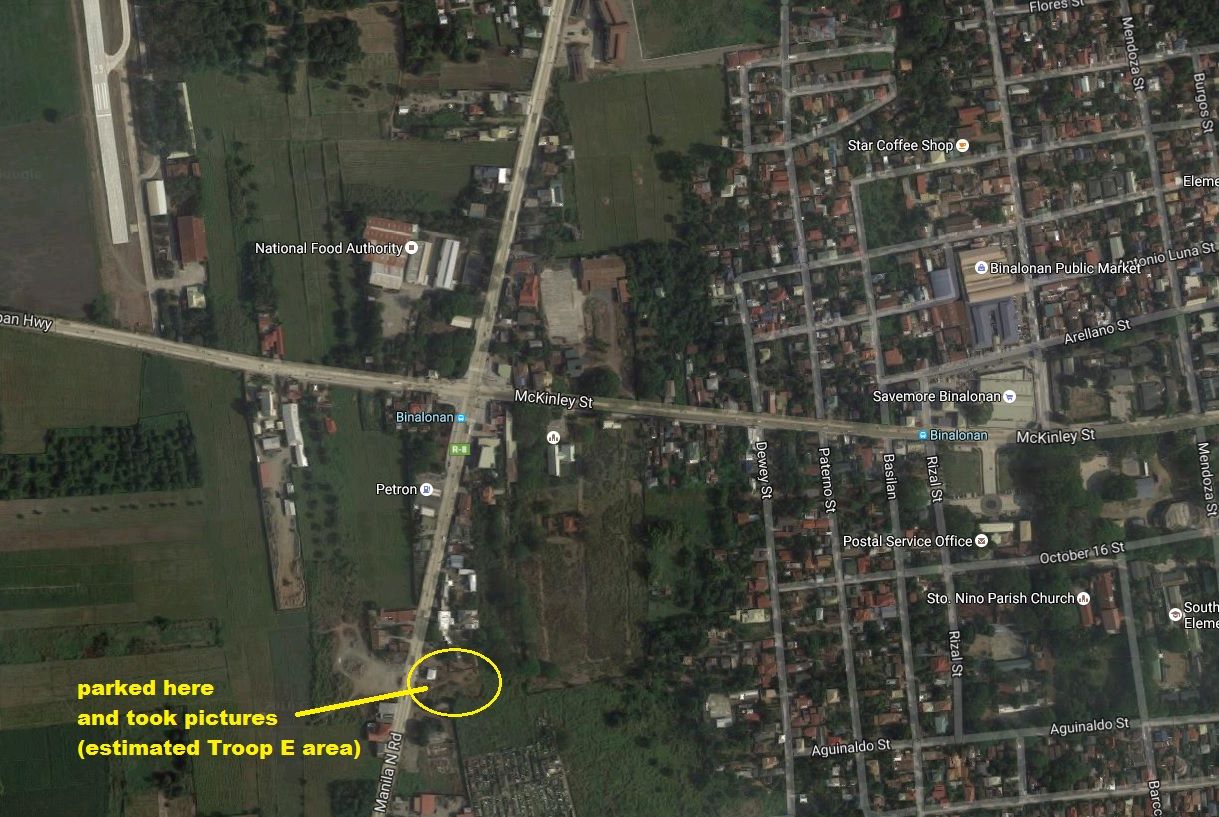
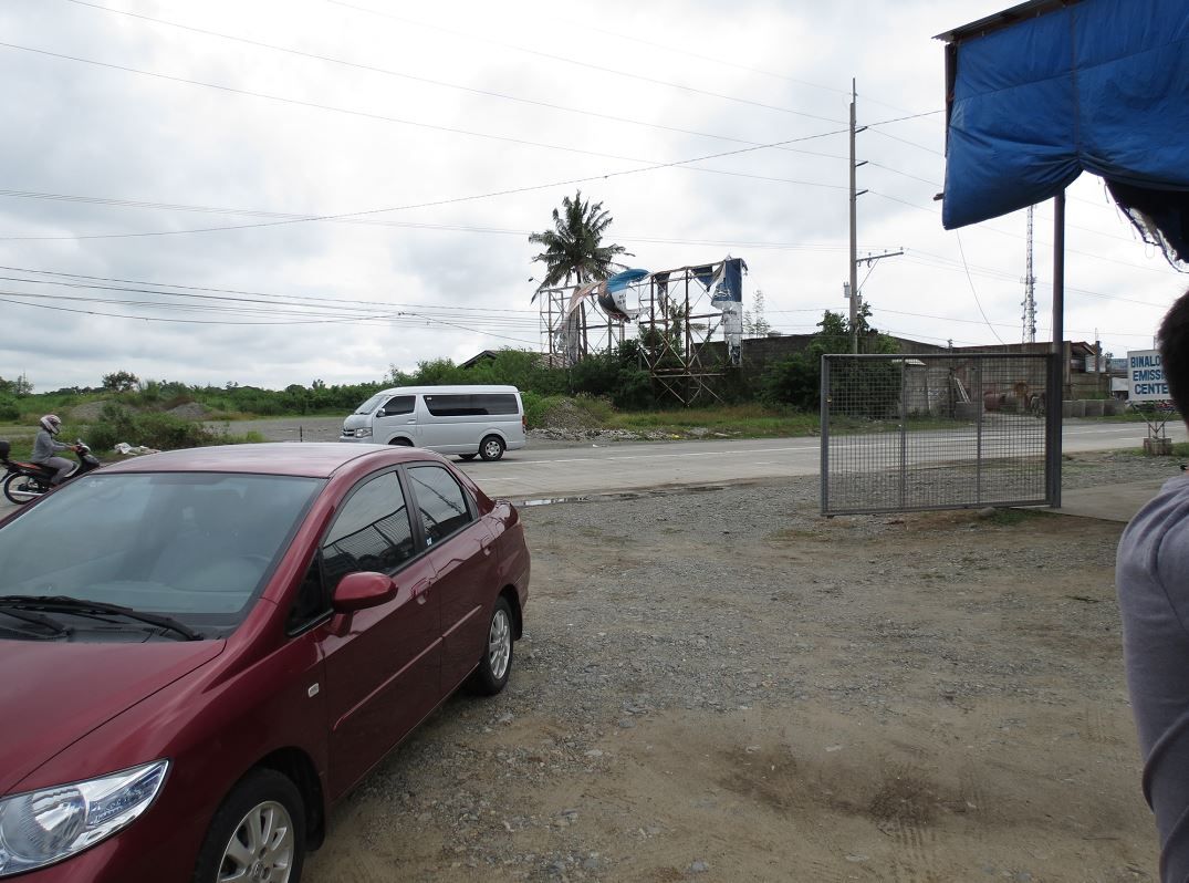
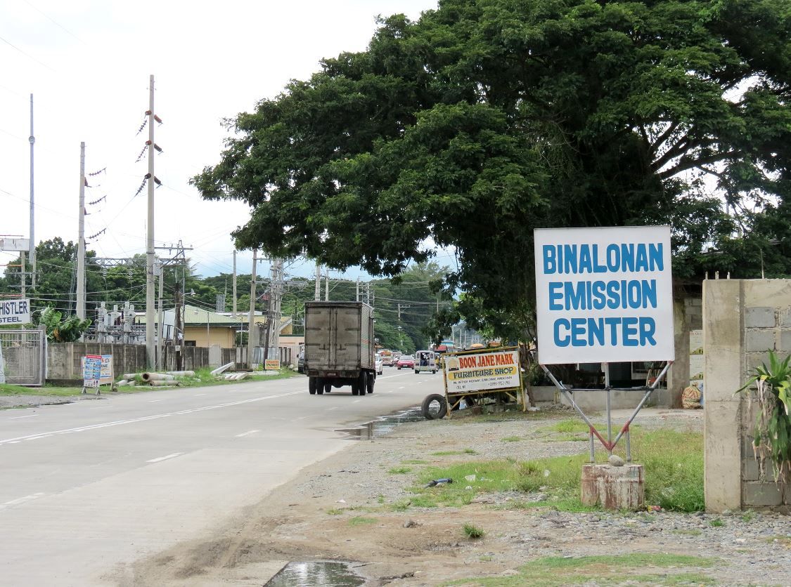
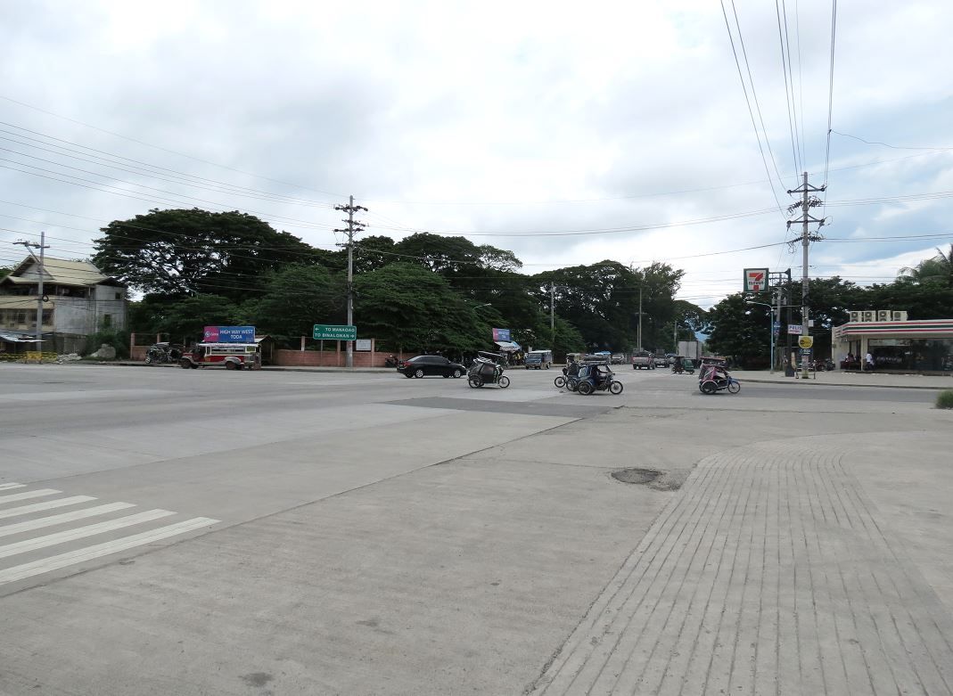
We parked by a car emission testing place near the intersection, close to where I estimate Troop E's defensive positions were.
The roads are lined with structures, shops, and walled property lines. One could not easily see the lay of the land. There is a break in buildings where we parked and we walked back behind the buildings to take a look.
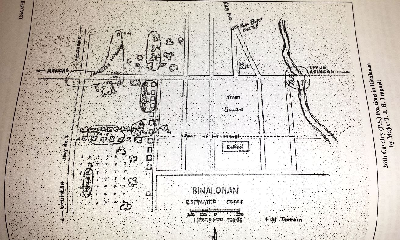
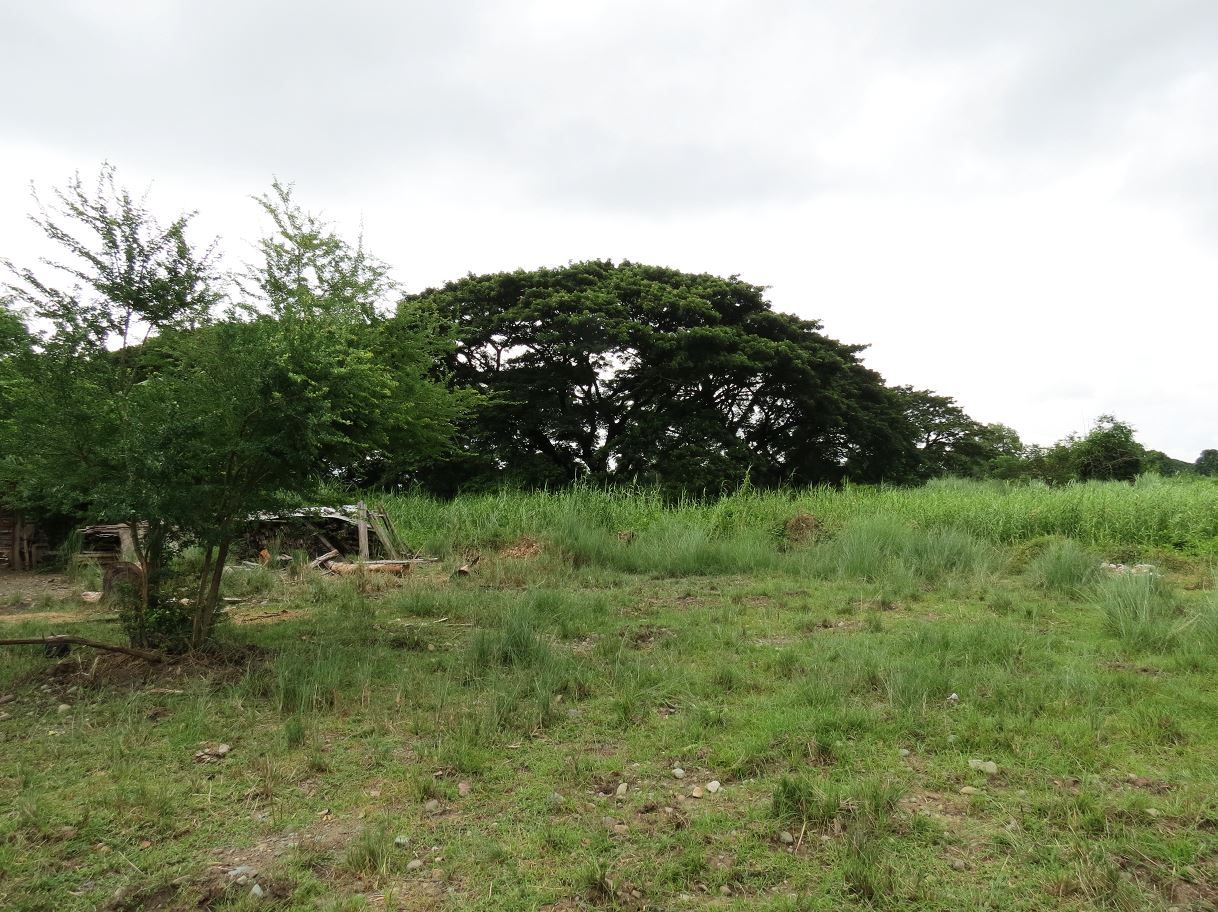
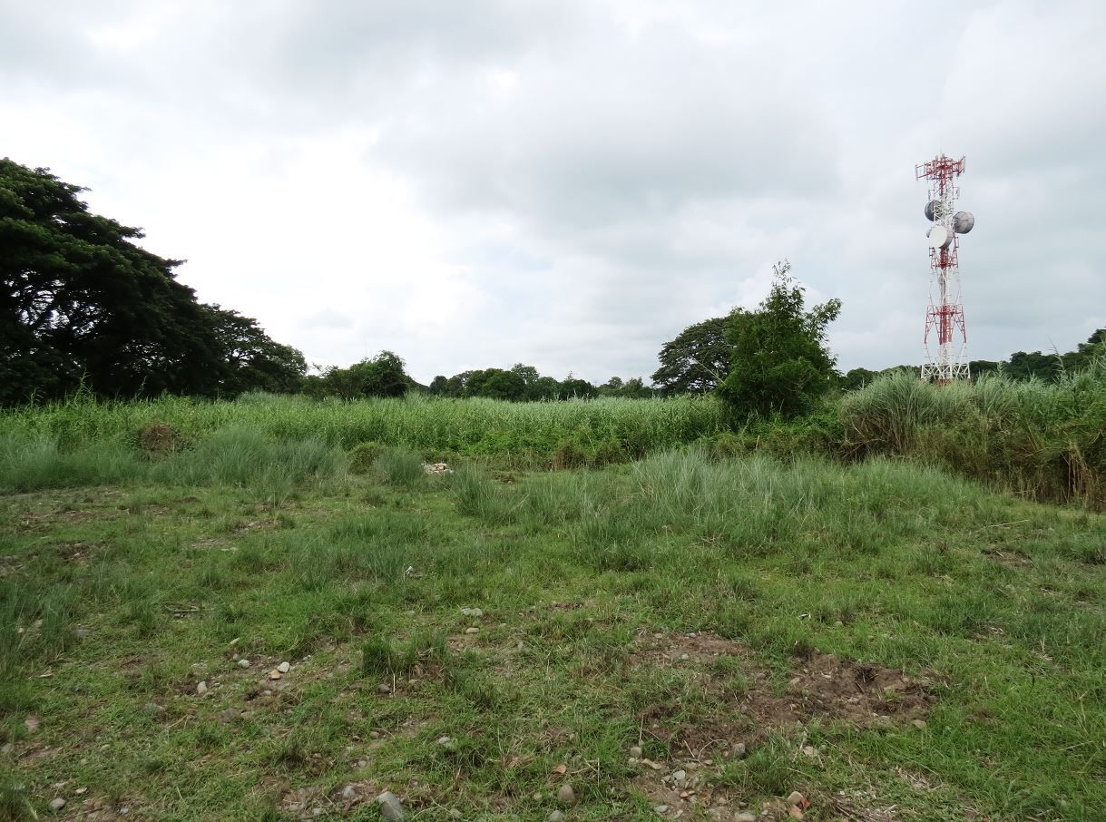
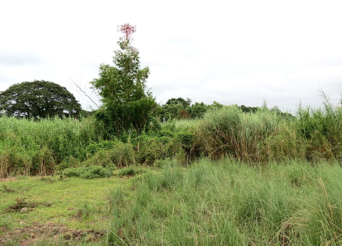
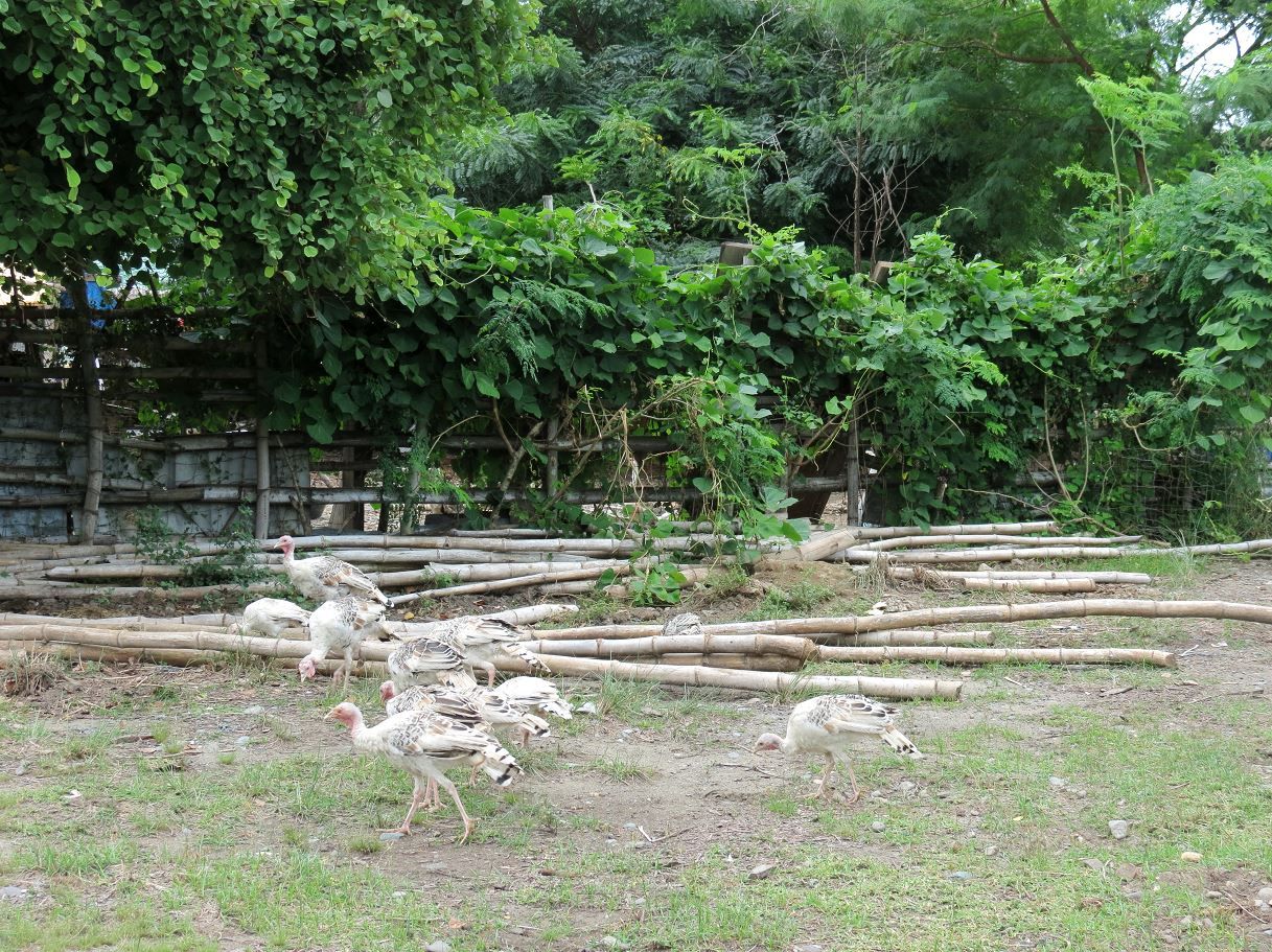
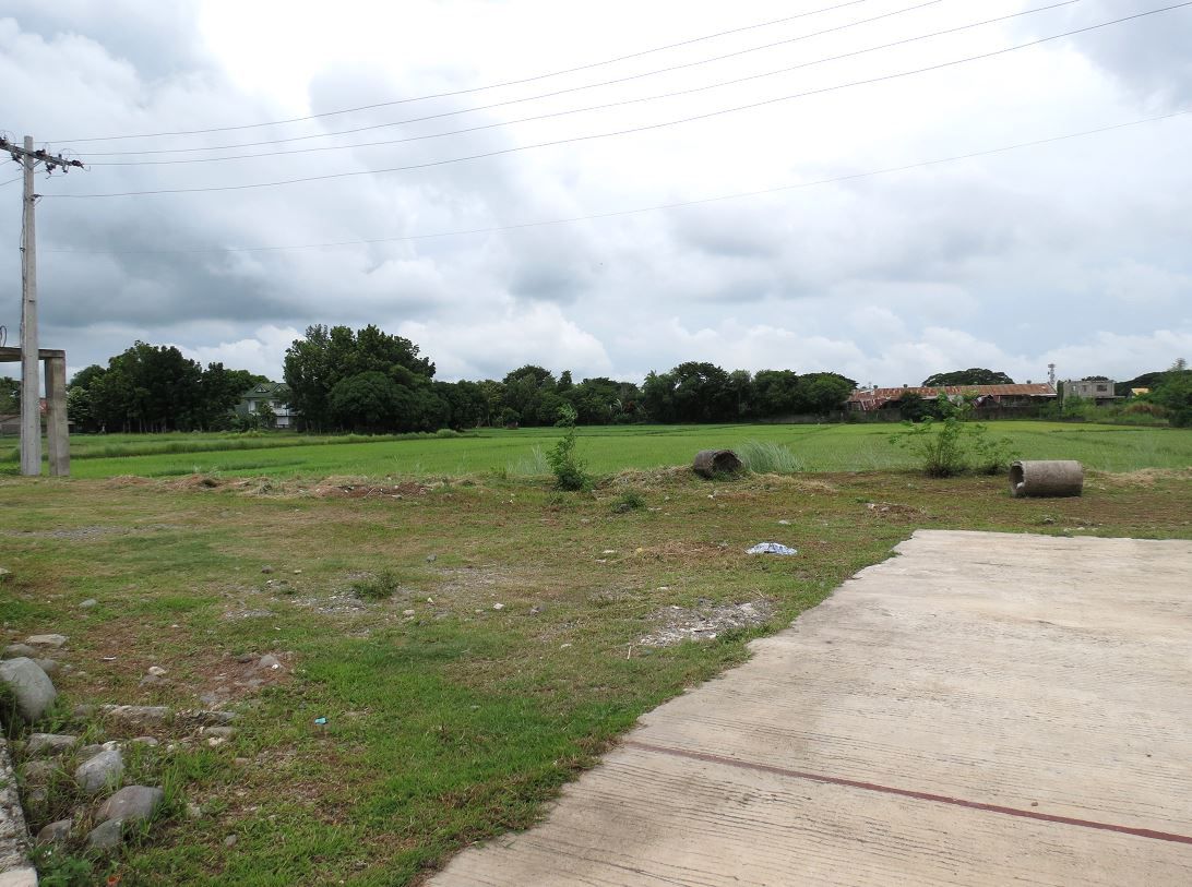
Troop E's area is now overgrown and it's hard to see much. But here's what it looks like. I estimate the 26th's command post to be maybe about 500 feet beyond the acacia trees.
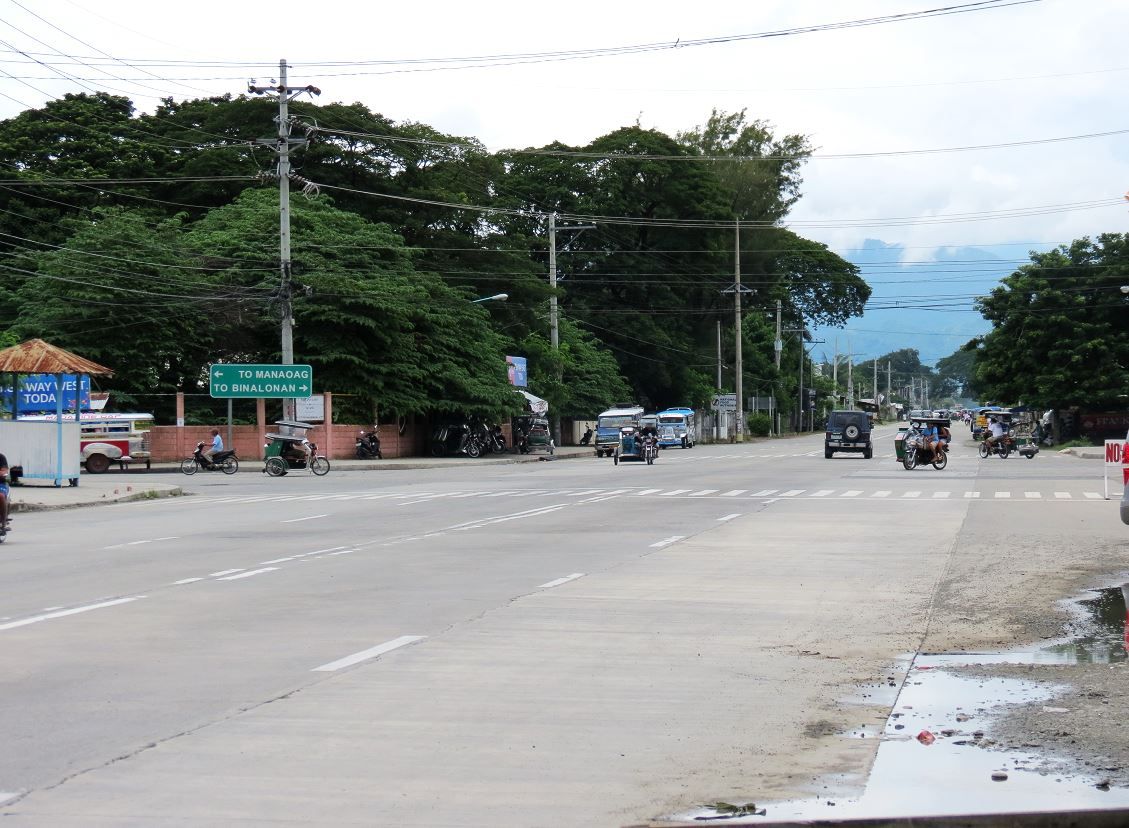
The intersection that was the center of the battle, looking north. The Japanese would have come that direction. To the right is the road that goes directly to the town square.
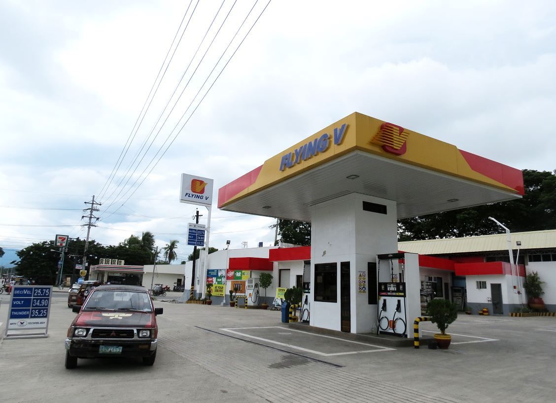
The southeast corner has a Flying V gas station. (I like that name!)
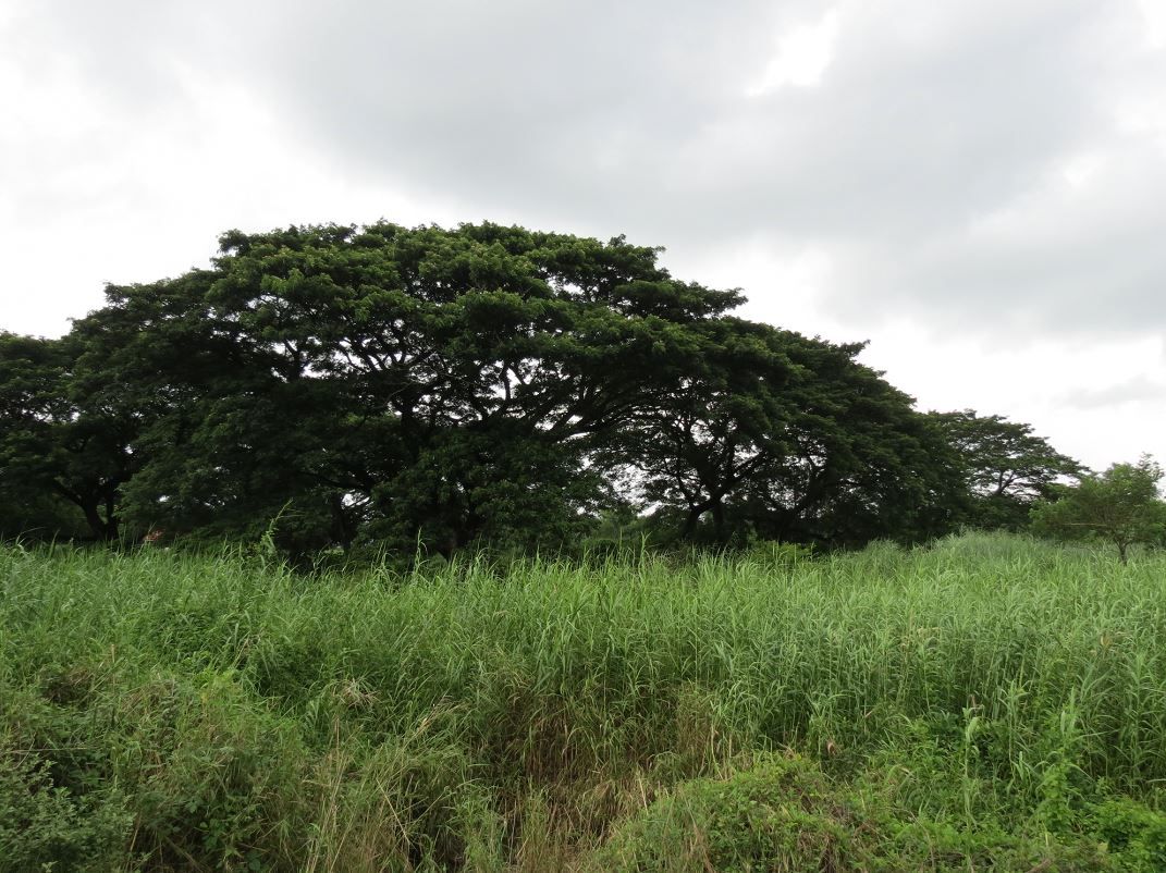
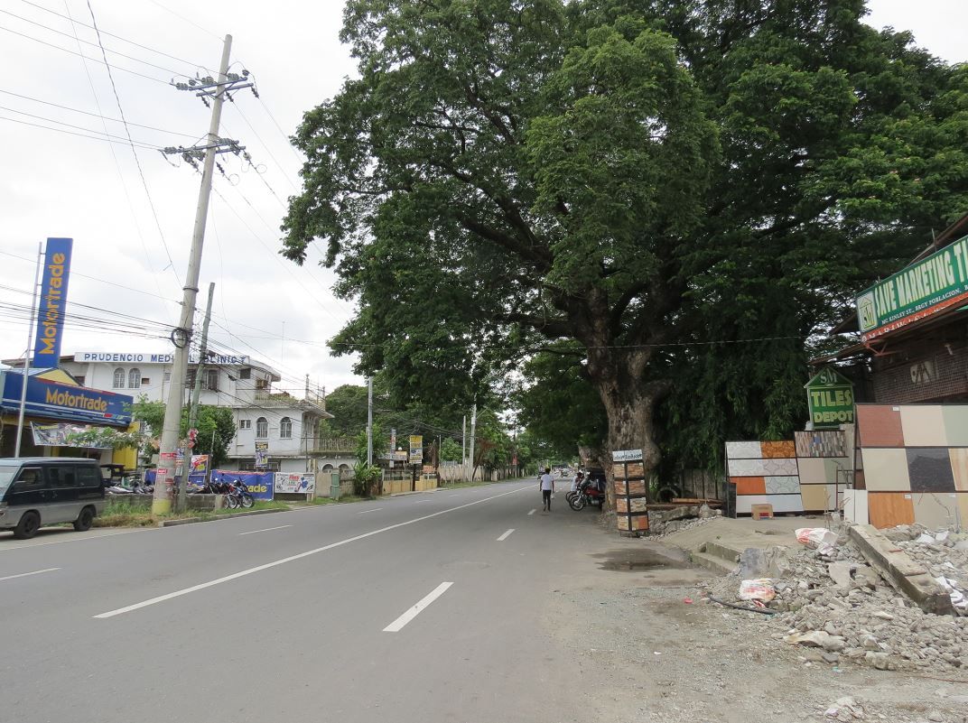
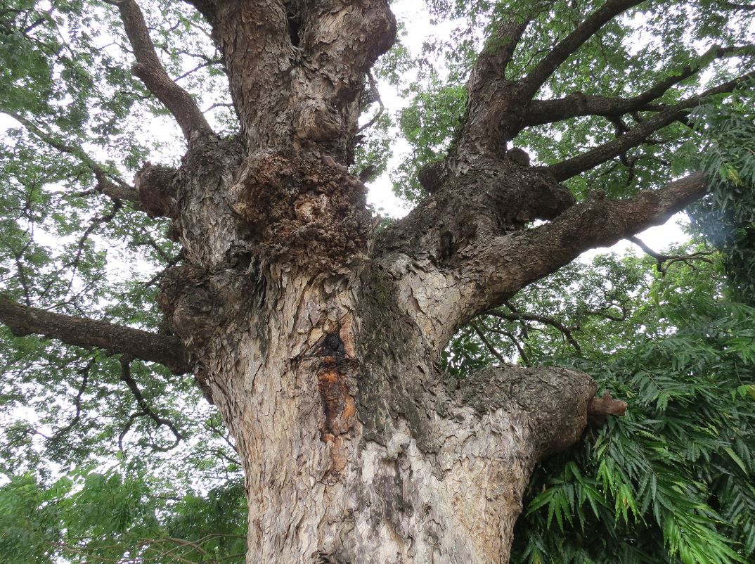
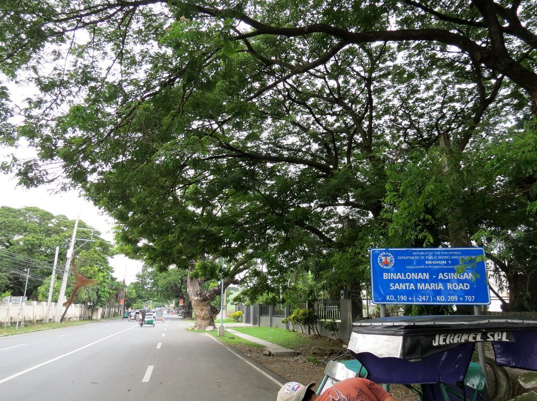
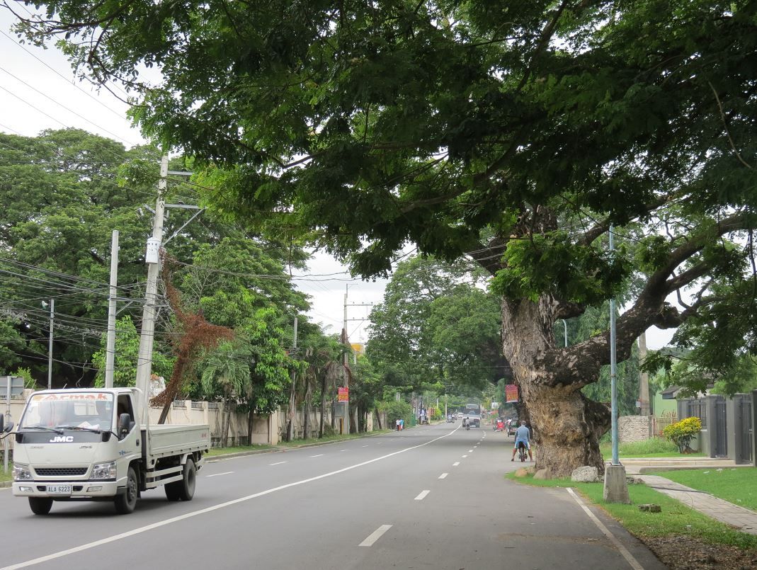
The road heading into the center of town, facing east. It's lined with very old acacia trees. These would have been around during the battle.
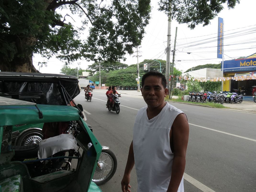
Chatted with a pedicab driver who thought me and my friend were Yamanutsa-treasure hunting. He did say that during construction of some of the buildings in the area, old relics and ordnance were found.
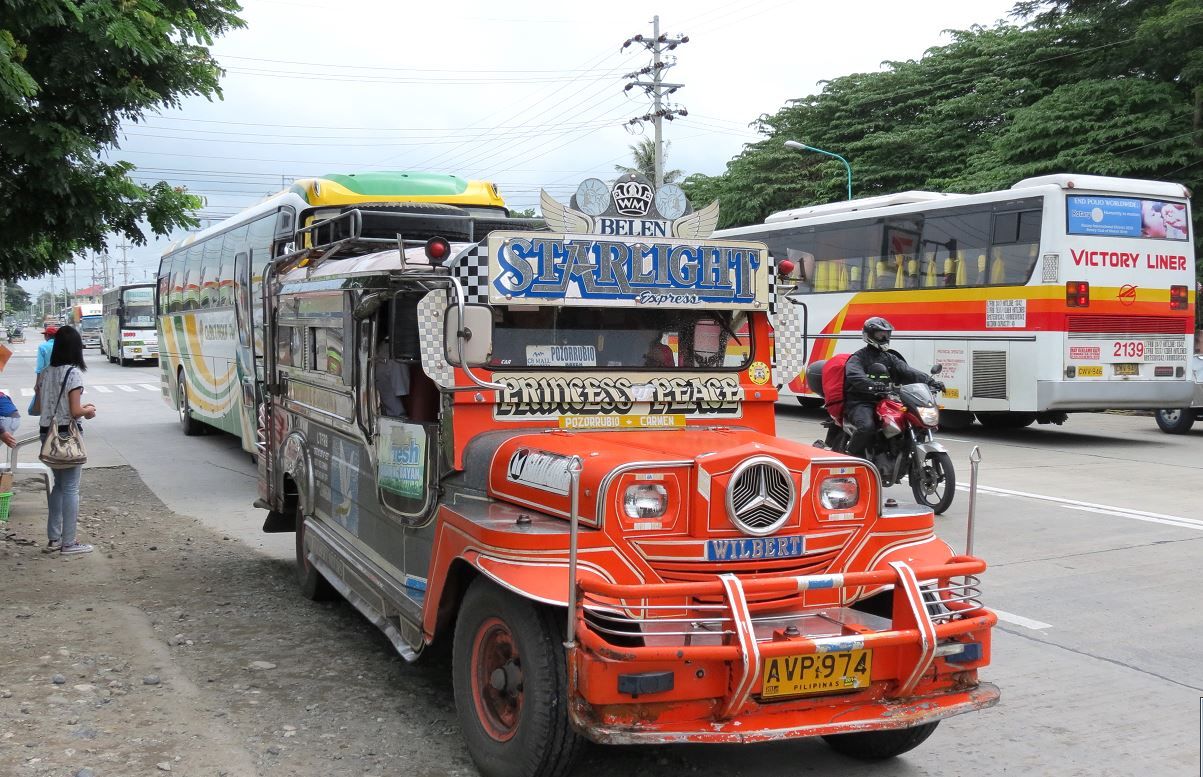
A jeepney heading north to the next town of Pozorrubio, which the 26th passed through as they retreated.
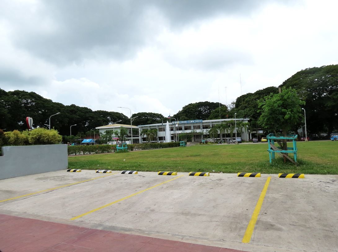
The Binalonan town square area
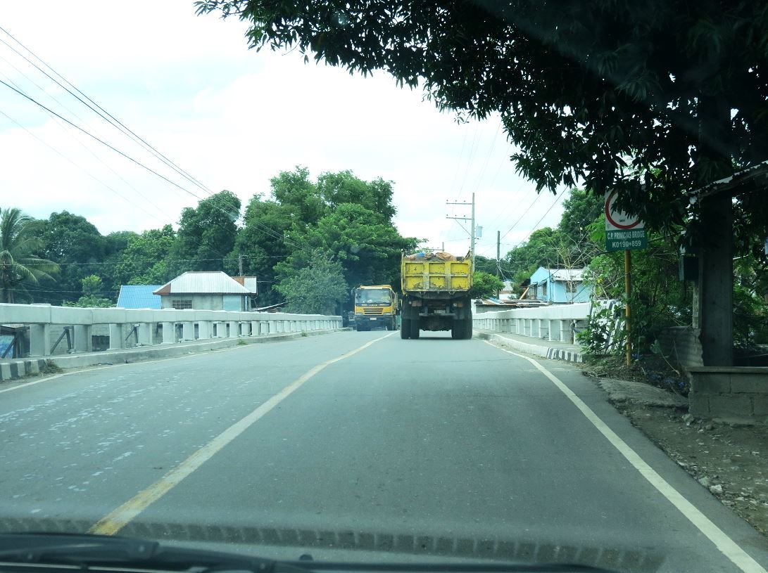
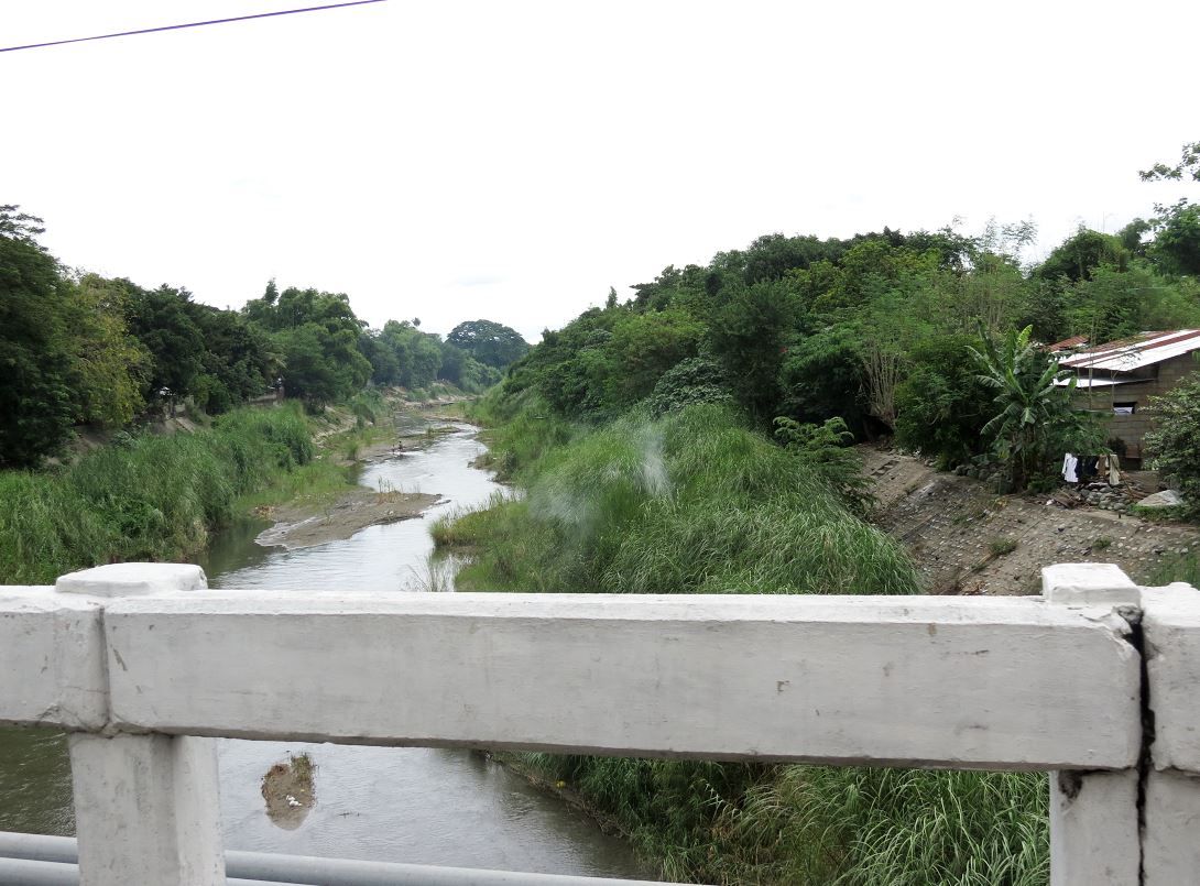
The bridge at the eastern side of town where the 26th escaped through, including Gen. Wainwright. The road leads to Asingan and Tayug.
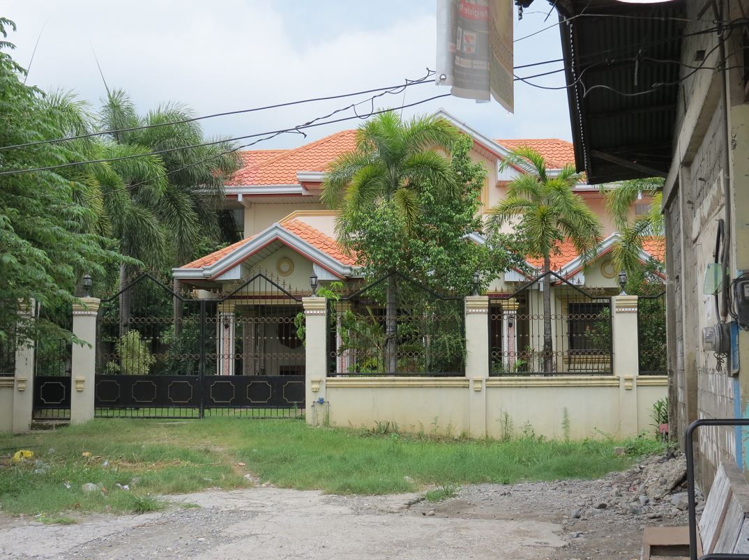
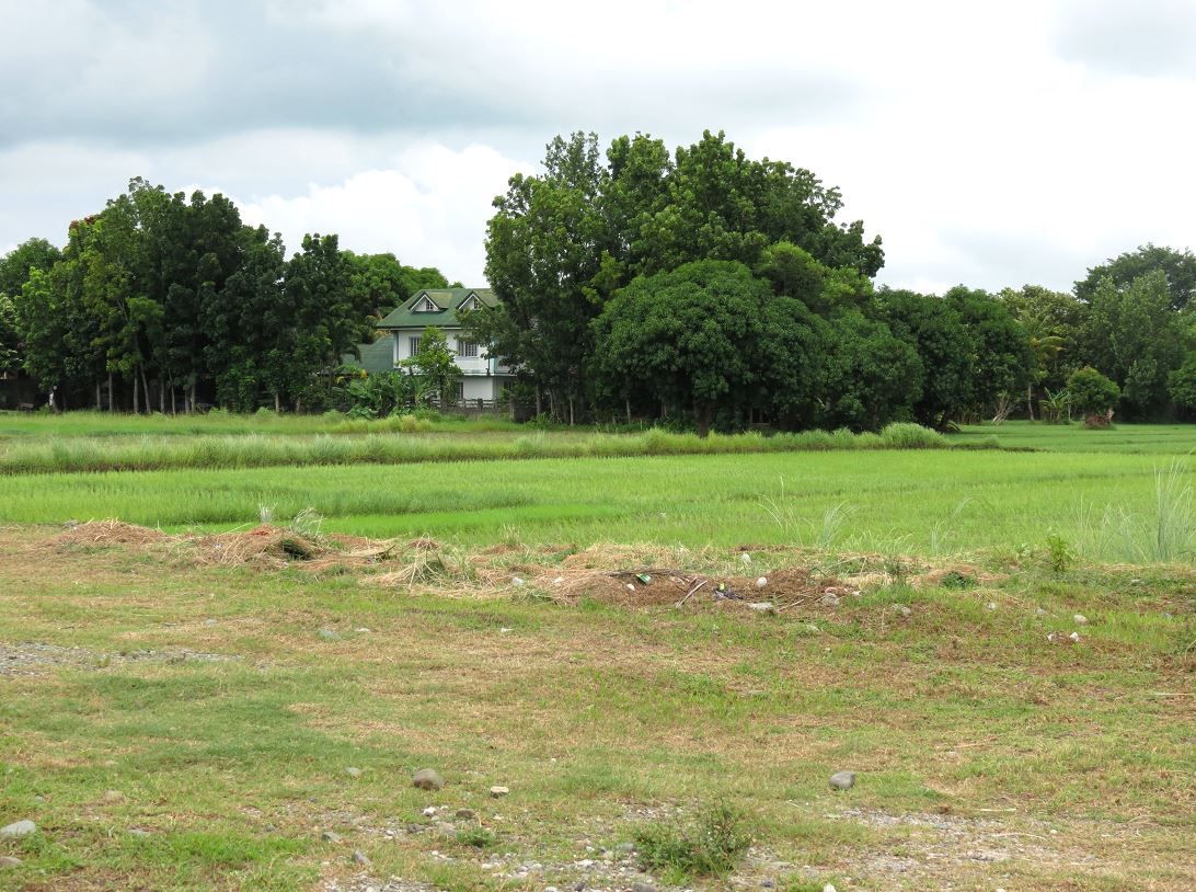
Back near the intersection, there is a big house on the southeast section right in the middle of what would have been no-man's land. All these area were fields and rice paddies.
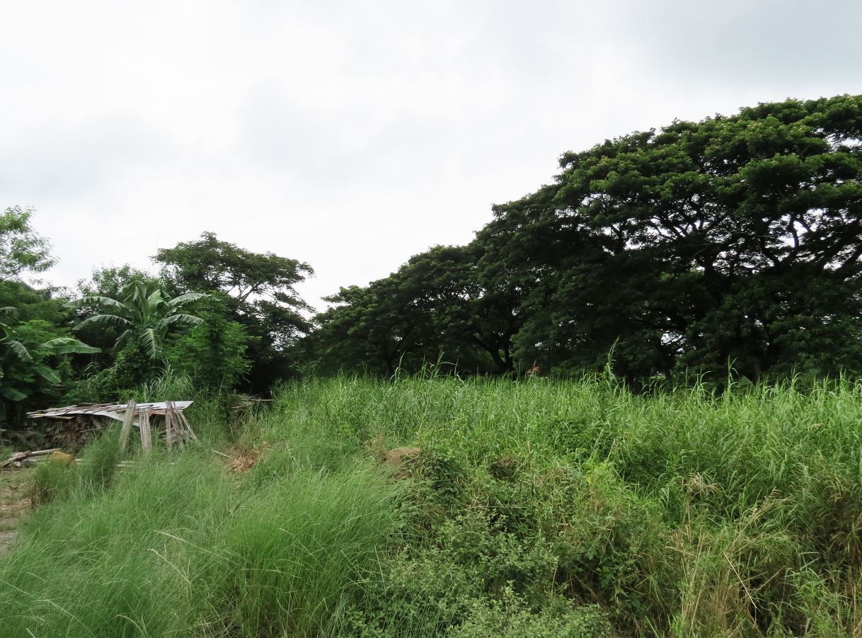
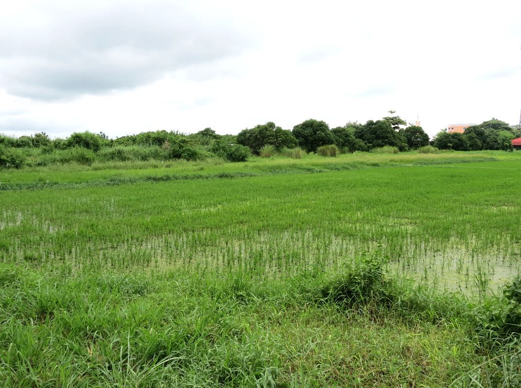
I found some gaps between buildings where one could glimpse scenery that would have been closer to what it may have looked like back in 1941. Open fields.
This is in the northeast quadrant by Troop A's defensive positions. They may even have been positioned in the general area of the tree line. Maybe.