Carlos
History Student
 A Subic Bay Sailor served, visiting, living and exploring in Subic Bay and other places
Posts: 55
|
Post by Carlos on Aug 8, 2011 23:20:31 GMT -5
Walked up the mountain with friends, a great day. The Phil-Jap. Friendship Building was open and we had a look. Got details of the cross and the US Plaques at the Museum level. Great shot of the Shrine grounds and good scenery shots around the Samat Mountain, they are good to get feel of the battle field geographic layout. Also I tried to get better shots of the battle field graphics on the colonnade walls. Here are 100 images: s74.photobucket.com/albums/i265/PI-Sailor/Manila%20Bay%20Forts-Other/Bataan%20Defense/Mount%20Samat/08-08-26%20Samat%20walk%20w%20friends/ If you like and I recommend you do if you are interested in details of the cross, the battlefield graphics, the plaques and most of important the layout of the geographic battlefield around Mt Samat you can see all 134 images here: pisailor.multiply.com/photos/album/54/Mt._Samat_walk_2008-08-26_clear_scenery_cross_details_Phil-Jap._Building_grounds_US_PlaquesHere are some sample images: Staircase in the cross of the Shrine of Valor on Mt. Samat, Pilar, Bataan 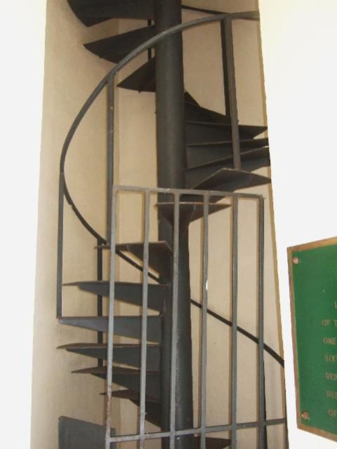 Windows and seats in the cross arm of the Shrine of Valor on Mt. Samat, Pilar, Bataan 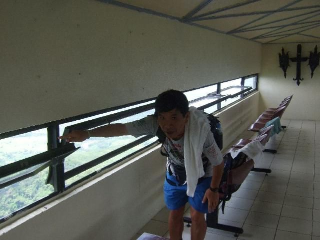 WWII Battle trails from the Hyper War internet pages. It is in high resolution. 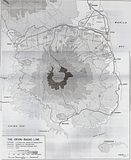 The cross of the Shrine of Valor on Mt. Samat, Pilar, Bataan 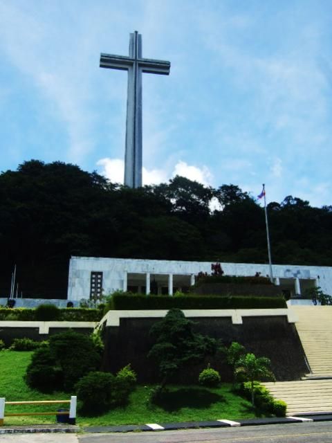 The graphic layout of the Bataan Defense Battle on the Colonnade Wall at the Shrine of Valor on Mt. Samat, Pilar, Bataan. It is in high resolution. 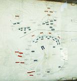 |
|
|
|
Post by VeeVee on Aug 9, 2011 16:54:47 GMT -5
It's a great view from the cross's view deck: 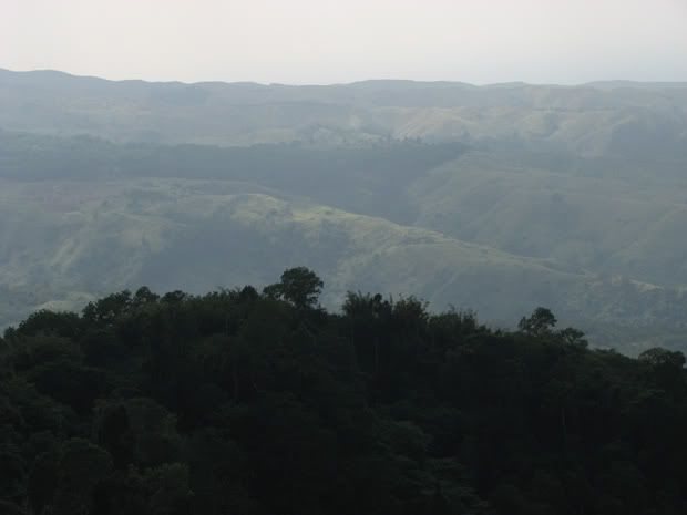 |
|